

This group has been created to explore the creation of an inclusive open-source historical mapping community, with a focus on Early Modern London, Early Modern England and Wales, Ireland and Scotland, and their relations with the wider world. It is an initiative of the MarineLives project team. The MarineLives project was launched in 2012 to work collaboratively on the transcription, linkage and enrichment of the legal records of the English High Court of Admiralty. We welcome academics and non-academics to contribute to this group, which is hosted on the Humanities Commons platform, and to advance a culture of exchange of data sets, map layers, polygons, georeferenced data and methodologies.
-
Colin Greenstreet replied to the topic Spatial experiment at #maphackathon, Feb 10/11 2017 (TBC) in the discussion
 Open-source historical mapping on Humanities Commons 9 years, 3 months ago
#maphackathon datasets on Google drive
We have manually extracted data on English ship movements from witness statements in the English High Court of Admiralty in the 1650s. These data include port departure and arrival dates, allowing computation and visualisation of travel times, dwell times and routes. Data cover ship voyages between 1645…[Read more]
-
Colin Greenstreet started the topic Spatial experiment at #maphackathon, Feb 10/11 2017 (TBC) in the discussion
Open-source historical mapping on Humanities Commons 9 years, 3 months agoWe are organising a Friday evening and Saturday morning of spatial experiment #maphackathon in central London on Friday February 10th and Saturday February 11th 2017. We encourage all readers and members of this group to contribute their ideas and to help shape the event.
Datasets will be made available in advance by @marinelivesorg and @cgspen…[Read more]
-

John Levin replied to the topic The use of QGIS in historical mapping in the discussion
Open-source historical mapping on Humanities Commons 9 years, 3 months ago -
Colin Greenstreet replied to the topic How can we find and map C17th Thames shore warehouses? in the discussion
Open-source historical mapping on Humanities Commons 9 years, 3 months agoTwitter exchange with Dr Craig Spence, Saturday December 3rd 2016
Post @Marinelivesorg: Missing Thames infrastructure – Ideas for datamining text/archaeological records to find & map C17th Thames warehouses? #maphackathon
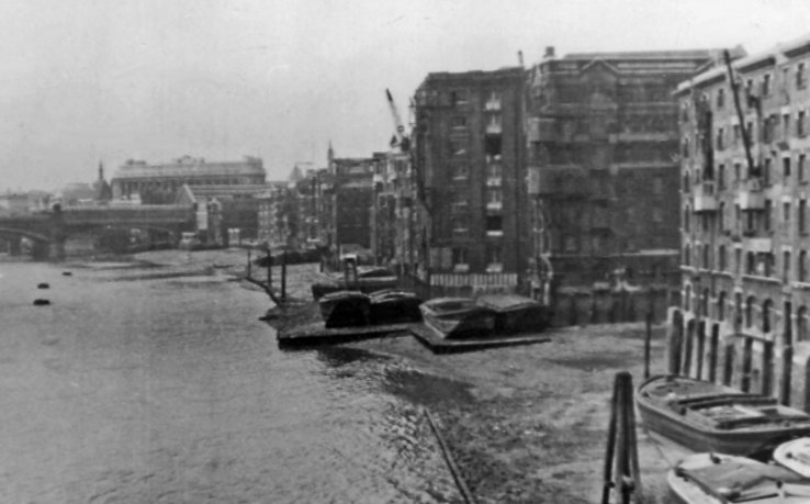
Post @cgspence: @Marinelivesorg my book ‘London in the 1690s’ incs map locating taxed warehouses vaults etc. 4s A…[Read more]
-
Colin Greenstreet started the topic Where were the twelve mooring chains in the River Thames? in the discussion
Open-source historical mapping on Humanities Commons 9 years, 4 months agoPrimary sources
E 367/5903. Burrell: Mooring chains and dues in the river Thames between Bugby’s Hole and London Bridge. Date: 22 Geo.III.
Report from the committee appointed to enquire into the best mode of providing sufficeint accomodation for the increased trade and shipping of the port of London (London, 1796)
“Appendix…[Read more]
-
Colin Greenstreet started the topic How can we find and map C17th Thames shore warehouses? in the discussion
Open-source historical mapping on Humanities Commons 9 years, 4 months agoWhat text and archaeological records exist which we could make use of in constructing a map of mid-C17th Thames shoreline warehousing?
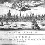
No comprehensive study or map have been made of C17th warehousing and other commercial marine infrastructure on the north and south shores of the Thames from London Bridge down to Woolwich. Morgan’s 1682 map…[Read more]
-
Colin Greenstreet started the topic The use of QGIS in historical mapping in the discussion
Open-source historical mapping on Humanities Commons 9 years, 4 months agoQGIS is a free open-source Geographical Information System (GIS). It has been developed and is supported by the OSGeo Foundation. The latest version is QGIS 2.18 Las Palmas. It is available for download here.
The development and release history of the system is described in a wikipedia article on QGIS.
The product runs on Linux, Mac OSX,…[Read more]
-
-
Colin Greenstreet created the group
Open-source historical mapping on Humanities Commons 9 years, 4 months ago